FLASH
Harnessing the Invisible
Reviewed by Dr Srikanth Ponnada
Harnessing the Invisible
The Future of Remote Sensing in a Data-Driven World
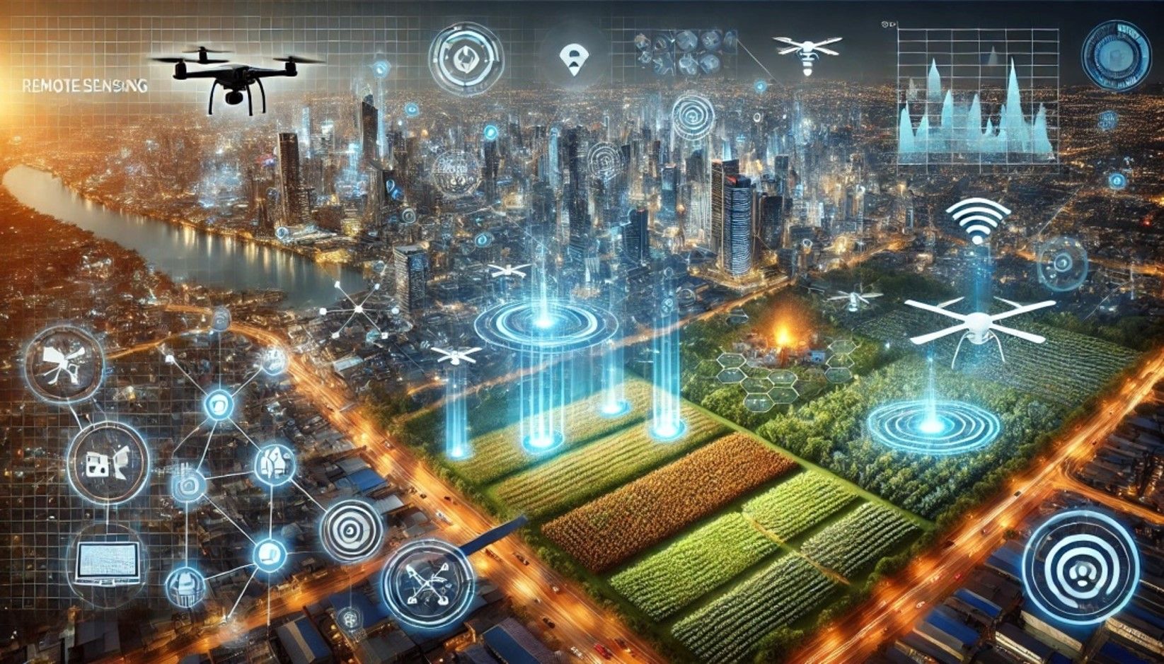
Beyond What the Eye Can See
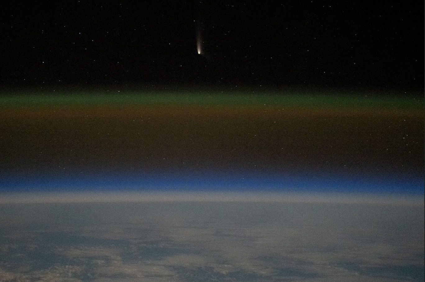
Imagine a world where data flows seamlessly from the sky, uncovering the secrets of Earth’s surface, oceans, and even the atmosphere data that can reshape industries, drive environmental conservation, and spark innovation across multiple sectors. This world is no longer a distant dream; it’s the reality brought forth by the ever-evolving field of remote sensing technology. With its roots in satellite imaging and aerial photography, remote sensing has grown into a powerful tool for global surveillance, resource management, and decision-making. And now, with the advent of cutting-edge advancements, its potential to transform the future is more significant than ever. From space exploration to agriculture, the applications of remote sensing are expanding rapidly. New technologies and platforms are emerging that push the boundaries of how we collect and use Earth observation data. This article explores these future-forward applications and highlights how they are reshaping the world in ways we never thought possible.
The New Frontier: Emerging Applications of Remote Sensing
- Smart Cities: The Backbone of Urban Transformation
- Precision Agriculture: Feeding a Growing World
- Disaster Management: Revolutionizing Early Warning Systems
- Marine Ecosystems: Protecting Oceans from Above
As urbanization accelerates, cities are becoming more complex. Managing traffic flow, monitoring infrastructure, and ensuring environmental sustainability have become pressing challenges. This is where remote sensing steps in. Integrating remote sensing data with real-time analytics from the Internet of Things (IoT) enables city planners to create smart cities that can anticipate problems before they arise.
With high-resolution satellite imagery and LiDAR (Light Detection and Ranging) technology, remote sensing offers real-time tracking of urban growth, transportation networks, and even air quality. In the future, cities might operate as autonomous ecosystems, where smart infrastructure adjusts to dynamic conditions, making urban living more efficient and sustainable.
With the global population set to reach 10 billion by 2050, ensuring food security is a monumental task. Precision agriculture, powered by remote sensing, is key to solving this challenge. Advanced sensors mounted on drones, satellites, and even handheld devices are providing farmers with detailed information about crop health, soil moisture, and nutrient levels.
But what sets the future apart? Machine learning and AI are now being integrated with this data to forecast crop yields, detect diseases before they spread, and optimize resource use in real time. Emerging sensors like hyperspectral imaging are even able to analyze crops at a molecular level, helping to predict outcomes more accurately than ever before. This fusion of remote sensing and AI could lead to agricultural systems that practically grow themselves, ensuring food security even in unpredictable climatic conditions.
Natural disasters like wildfires, floods, and earthquakes are becoming more frequent due to climate change. Remote sensing has become an essential tool in disaster management, providing near-instantaneous data for response teams. For instance, satellite imagery can help track the spread of wildfires in real time, giving authorities the chance to mitigate damage.
Emerging techniques like RADAR interferometry are now being used to detect subtle land deformations, offering early warnings for earthquakes and landslides. In the future, remote sensing may enable real-time hazard prediction, where AI algorithms combine meteorological, geological, and satellite data to forecast disasters before they strike, saving lives and reducing economic loss.
The health of marine ecosystems is critical to life on Earth. Overfishing, coral bleaching, and plastic pollution threaten our oceans, but remote sensing is helping us monitor and mitigate these impacts. By utilizing multispectral and hyper-spectral imaging, scientists are tracking ocean temperatures, chlorophyll concentrations, and even the movement of micro plastics.
One of the most exciting developments in this area is the use of remote sensing for real-time monitoring of coral reefs. With AI-driven analysis, satellites can now detect signs of coral stress due to temperature changes, allowing for immediate conservation actions. As the technology evolves, we could soon see a global “ocean dashboard” that monitors the health of marine ecosystems, giving us the ability to intervene swiftly in conservation efforts.
The Future of Remote Sensing: Towards Predictive Earth Monitoring
The future of remote sensing lies not just in observation but in prediction. We are entering an era of predictive Earth monitoring, where remote sensing, machine learning, and big data analytics come together to create a constantly updating model of our planet. This model will allow governments, industries, and communities to anticipate environmental changes, optimize resources, and respond to challenges before they escalate.
For example, climate change. Remote sensing is already helping scientists track glacial melt, sea-level rise, and atmospheric changes. In the near future, remote sensing networks could become part of a global climate warning system, offering precise predictions of how specific regions will be affected by warming trends. Such a system could be pivotal in global efforts to combat climate change, providing the insights needed to mitigate its worst effects.
Visualized Image: GEMINI
In Conclusion: Shaping the World
Remote sensing is no longer just a scientific tool; it’s a transformative force shaping industries, cities, and the natural environment. The applications discussed here are only a glimpse of what’s possible as new technologies emerge and existing ones become more advanced. The integration of AI, IoT, and high-resolution Earth observation platforms will only enhance its power, making remote sensing indispensable for tackling some of the world’s most critical challenges. Looking ahead, it’s evident that remote sensing will be pivotal in forging a smarter, more sustainable world. As advanced technologies converge, remote sensing doesn’t merely observe the Earth but actively informs our path to resilience and foresight, transforming data into an essential resource for the challenges of tomorrow.
References & Suggested Reading
1. Dakir, Asmae & Barramou, Fatimazahra & Alami, Omar. (2022). Opportunities for Artificial Intelligence in Precision Agriculture Using Satellite Remote Sensing. 10.1007/978-3-030-80458-9_8.
2. Mandal, A., Ghosh, A.R. AI-driven surveillance of the health and disease status of ocean organisms: a review. Aquacult Int 32, 887–898 (2024). https://doi.org/10.1007/s10499-023-01192-7
Authored by Dr Tejaswini Venkumahanti

-Junior Scientific Content Author
Dr. Tejaswini is the Lead for Geospatial Solutions at NeoGeo Info Pvt. Ltd., where she spearheads innovative approaches in the fields of Remote Sensing, Geographic Information System (GIS), Geo-BIM, and Photogrammetry. With over 7 years of research experience, she holds a PhD in Remote Sensing and GIS from Andhra University College of Engineering. Her research focuses on the integration of Remote Sensing and GIS with Building Information Monitoring (BIM), pushing the boundaries of geospatial technology to connect macro-level environmental data with micro-level building details through the use of highest level of detail (LOD) 3D models. Prior to her current role, she served as a Senior Research Fellow at the Department of Science and Technology (DST), Govt. of India and Project Scientist at National Institute of Rural Development and Panchayat Raj (NIRDPR) where she worked on various government projects such as MGNREGA and initiatives for Geospatial Rural Development. She is known for her expertise in applying cutting-edge geospatial technologies to real-world problems. She has contributed to the fields of geospatial applications for urban planning, infrastructure management, and sustainable development.
Download this Article as PDF
Related Articles